Watershed Report Card
Watershed Report Cards are prepared every five years.
For the current report card (2023-2027) please scroll down this web page.
- Summary – Large (3 MB) PDF brochure file
- Full Report – Very large (6 MB) PDF file of report (subwatershed reports are separate from this file)
- For reports for 16 local subwatersheds, please click on interactive map or scroll down web page
For earlier reports (2007; 2013; 2018), click on the rectangular boxes to the right.
The most recent report was published in 2023 for the years 2023-2027.
Click map or links below for the report card for your local subwatershed community. (You may also read the Summary brochure and the full report)
Watershed Report Card Interactive Map
You may click on the map below, or click on the links, for your current subwatershed report card:

(A limited number of printed copies are available of local subwatershed report cards and summary brochure for Ausable Bayfield Conservation Authority area. Watershed Report Cards available in alternate formats upon request.)
The complete Watershed Report Card has three parts:
- Summary Brochure
- Report Card (Full Report)
- Report Cards for 16 Subwatersheds
Summary Brochure - Ausable Bayfield Watershed Report Card
- Ausable Bayfield Watershed Report Card 2023 – Eight-page Summary Brochure for Entire Ausable Bayfield Area (Large 3 MB PDF file)
Full Report - Ausable Bayfield Watershed Report Card
The following file is the full report of the Ausable Bayfield Watershed Report Card (published in 2023), except for the subwatershed report cards for the 16 subwatersheds in the Ausable Bayfield Conservation Authority (ABCA) area.
(The 16 subwatershed report cards are listed as separate links after this file):
- Watershed Report Card 2023 (full report without subwatershed report cards) – Very large (6 MB) PDF file
Chapter 3: Watershed Report Cards (2023) – for 16 Subwatersheds of the Ausable Bayfield Area (please go to links below):
The following are the Watershed Report Cards for the 16 local watersheds, or subwatersheds, of the Ausable Bayfield area. Each of these 16 files is a large PDF file, most between 1 MB and 2 MB each:
- Ausable Headwaters
- Bannockburn
- Bayfield Headwaters
- Bayfield North
- Black Creek
- Little Ausable
- Lower Ausable
- Lower Parkhill
- Main Bayfield
- Middle Ausable
- Mud Creek
- Nairn Creek
- Old Ausable Channel
- South Gullies
- Upper Ausable
- Upper Parkhill
Ausable Bayfield Watershed Report Card 2023 – Separate Sections (Smaller Files)
As files of smaller size, the full report of the Ausable Bayfield Watershed Report Card 2023, is separated into sections as follows. These are medium-sized and large-sized PDF files:
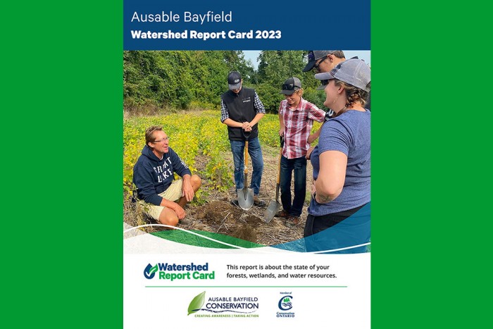
- Cover of Watershed Report Card 2023
- Title Page – Ausable Bayfield Watershed Report Card 2023
- Land Acknowledgement; Executive Summary; Acknowledgements; Table of Contents; List of Figures; List of Maps; List of Tables
- Introduction; Think Like a Watershed; Objectives and Components; What We Measured; Monitoring Matters
- Forest Conditions – Ausable Bayfield Watershed Report Card 2023
- Wetland Cover – Ausable Bayfield Watershed Report Card 2023
- Overwinter Vegetative Cover on Agricultural Lands – Ausable Bayfield Watershed Report Card 2023
- Surface Water Quality – Ausable Bayfield Watershed Report Card 2023
- Groundwater Quality – Ausable Bayfield Watershed Report Card 2023
- Summary – Ausable Bayfield Watershed Report Card 2023
- Next Steps – Ausable Bayfield Watershed Report Card 2023
- References – Ausable Bayfield Watershed Report Card 2023
- Appendices – Ausable Bayfield Watershed Report Card 2023
- Back Cover – Ausable Bayfield Watershed Report Card 2023
Here are the links to the Ausable Bayfield Watershed Report Card current web pages and PDF document:
The most recent report card has been published in 2023. The previous watershed report cards are from 2018; 2013; and 2007.
For comparison purposes, here are the links to the past Ausable Bayfield Watershed Report Card web pages (2018; 2013; and 2007):
- Ausable Bayfield Watershed Report Card 2018
- Ausable Bayfield Watershed Report Card - 2013
- Ausable Bayfield Watershed Report Card - 2007
About Watershed Report Cards
Report cards give residents information to protect and enhance watershed resources. Report card standards were developed for consistent reporting across Ontario.
Report cards are based on forest, surface water quality, and groundwater quality conditions in 16 subwatersheds in watersheds of the Ausable Bayfield Conservation Authority (ABCA) area. These include three Bayfield River subwatersheds, eight Ausable River subwatersheds, two Parkhill Creek subwatersheds, Mud Creek, and two smaller Lake Huron subwatersheds.
Watershed Report Cards tell you about your watershed - where more work is needed and where work has been achieving positive results.
They also provide you with things you, your community, and local agencies can do to help protect and improve watershed health.
They offer 'Thumbs Up' congratulations to watershed community partners creating awareness and taking positive action - they also offer a 'top action' that is needed in each of 16 local subwatersheds.
What is a watershed?
A watershed is an area of land drained by a creek or stream into a river which then drains into a body of water such as a lake or pond. Everything in a watershed is connected. Our actions upstream affect conditions downstream.
Why measure? Measuring helps us to better understand this watershed. We can target our work where it is needed and track progress.
We measured:
- Forest conditions
- Wetland cover
- Surface water quality
- Groundwater quality
- Overwinter vegetative cover